The Peak District is a popular area for exploring by motorbike where most visitors are lured by the ‘honeypot’ spots and main roads through the valleys and over the hills to the north. However, there are hidden gems well worth exploring in the less travelled areas to the south…
Words & photography: Simon Everett
It has been said the best roads in Derbyshire are in Staffordshire because part of the Peak District covers the Staffordshire Moorlands, a much quieter and lesser known area where the roads can be every bit as interesting.
Enjoy everything More Bikes by reading the MoreBikes monthly newspaper. Click here to subscribe, or Read FREE Online.
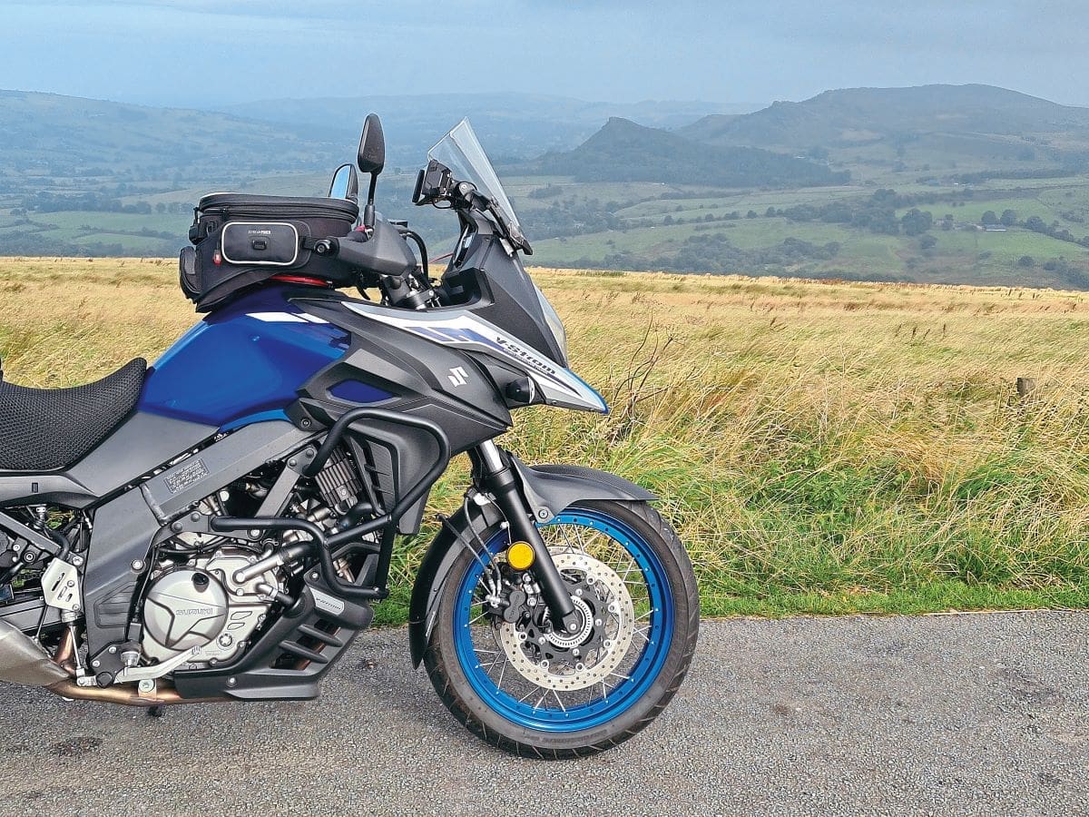
I’m lucky to I live right on the southern edge of this marvellous playground with its outstanding views and characterful villages that ooze charm and history. The lanes linking them are my playground – where most people will migrate to the main roads, I prefer the side roads which see very little traffic – that way I discover some hidden gems.
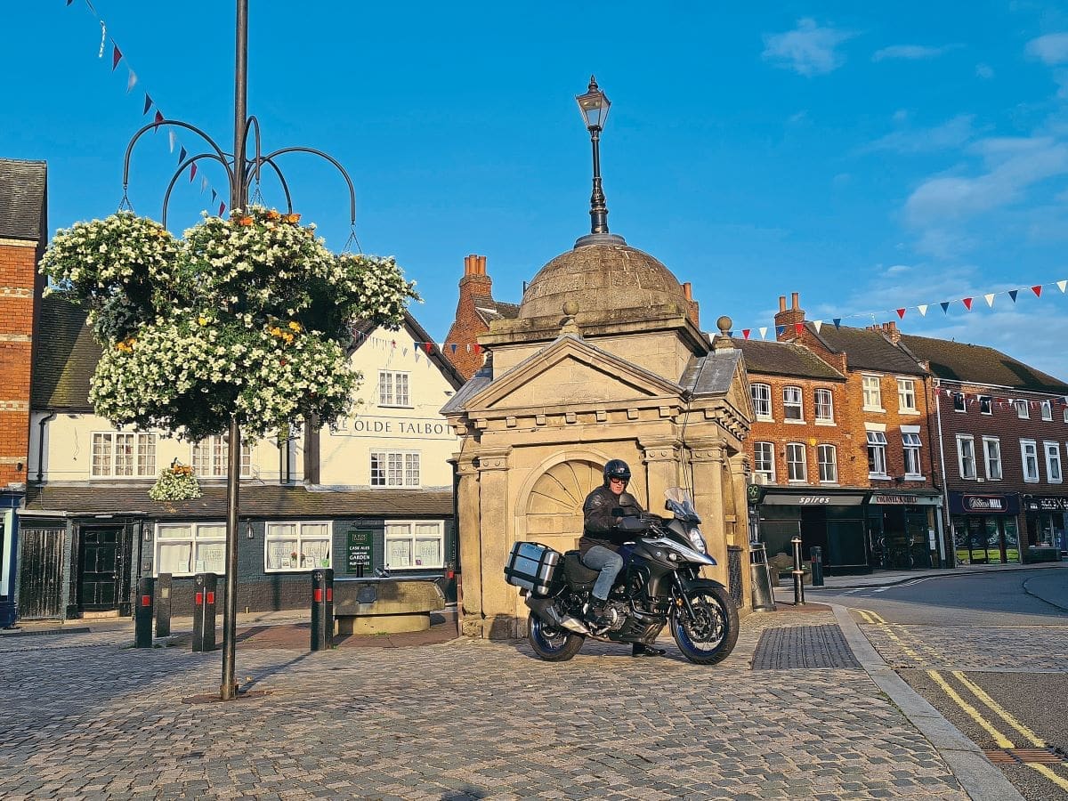
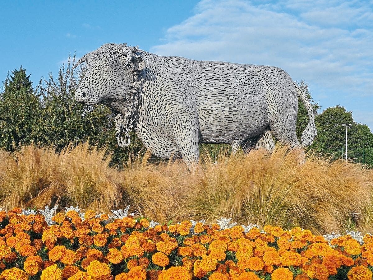
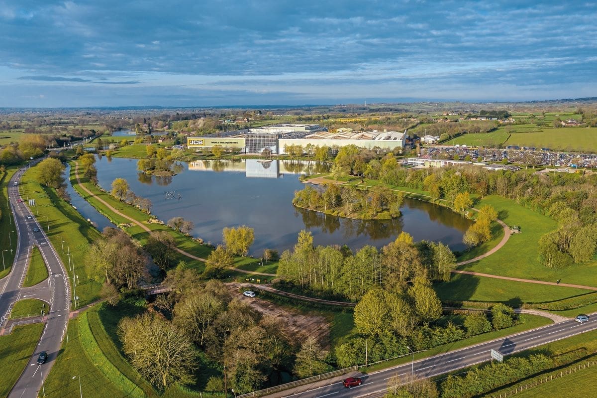
I started this day trip in the ancient market town of Uttoxeter, setting off from the cobbled market square beside the memorial to Samuel Johnson, who is credited with compiling the first dictionary of the English Language in 1755. Setting off eastwards and around St. Mary’s church, I headed down the hill to the famous roundabout on the A522 with the sculpture of the bull in the centre where the road becomes the A518. It then joins the B5030 to take you out of town towards Rocester and past the beautifully landscaped headquarters of JCB.
At the end of the lake turn left for Denstone on the B5031 and left again on to the road to Alton, the B5032 just after the large farm shop, until you come into the edge of Alton village and go straight ahead of you where the main road bends right, 90 degrees, with a brown sign to Alton Towers.
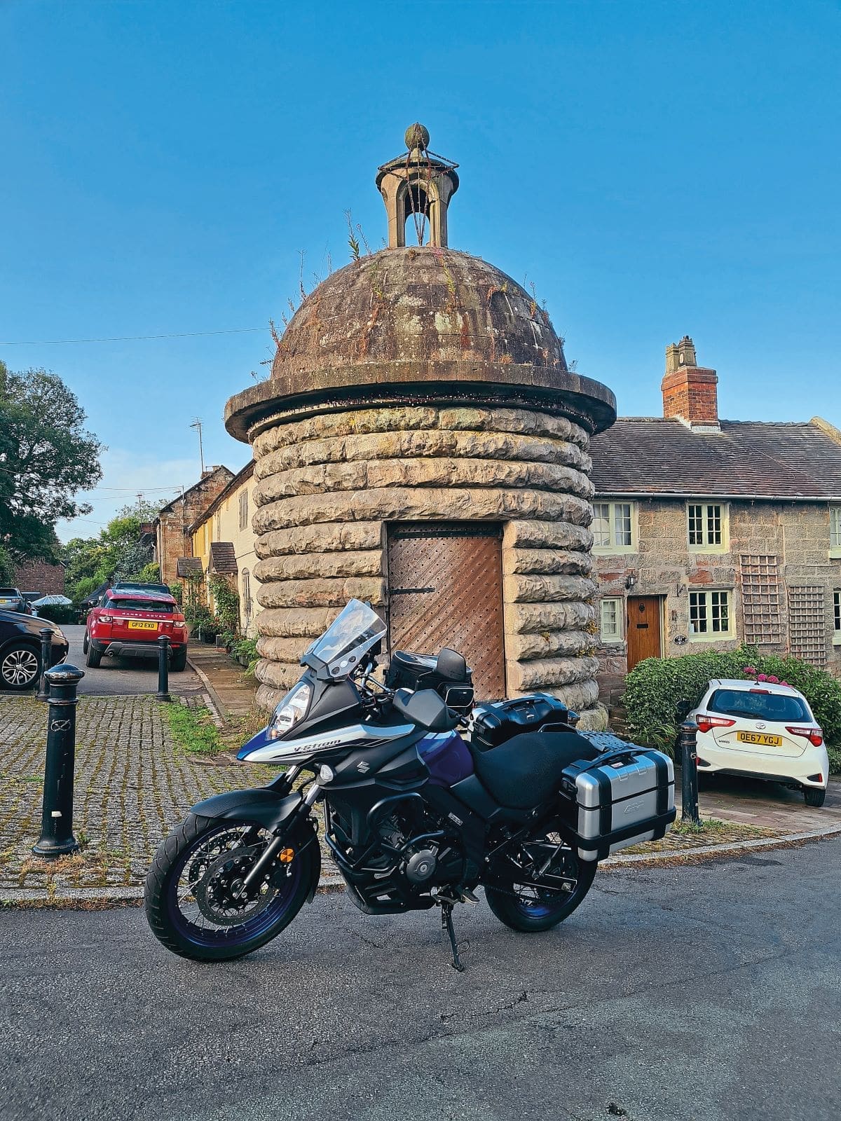
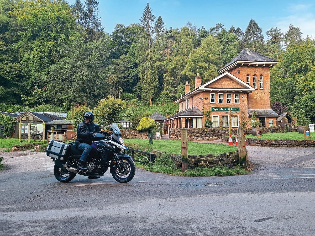
As you drop down the hill in the village take a left at the beehive jail and continue downhill, then go straight over to your right down Horse Road. Now you are getting into the wooded Churnet valley, which is the first of the rivers that gives this ride its name. At the bottom turn left and follow the River Churnet to The Rambler’s Retreat which is a good place for somewhere to stop to eat, even just coffee and cake.
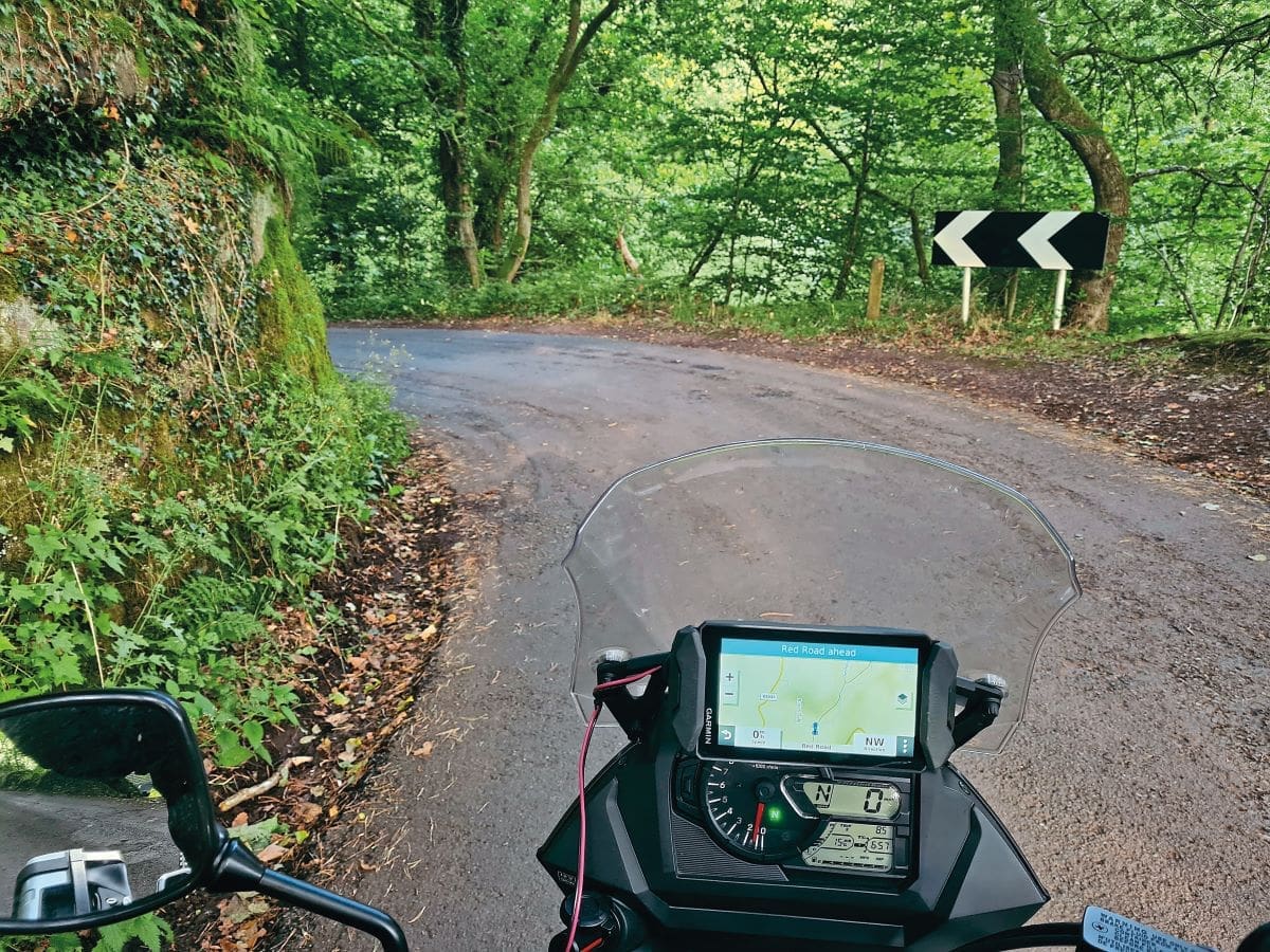
If you stopped for a bite, now continue along Red Road, which is a single-track road with the odd passing place, following the River Churnet across the field to your right until you come into Oakamoor by the old Admiral Jarvis pub that is now a holiday let and hit the junction with the main B5417.
Here you turn right and cross the river on the 17th century bridge, then in 100 yards go left at The Cricketer’s Arms up Carr Bank and Eaves Lane – be warned, this is steep and twisty, up until 2019 it was used for the Oakamoor Hill Climb race each year but then it was deemed too dangerous to run again in 2020.
Follow the lane right to the end where it hits the A52 in the village of Whiston. Turn left and meander down the steep and twisty bank until it levels out, turn right on to the B5053, signed for Ipstones, on Froghall Road. This is another hilly, twisty road that only sees local traffic and takes you to a main crossroads with the A523 Ashbourne to Leek road.
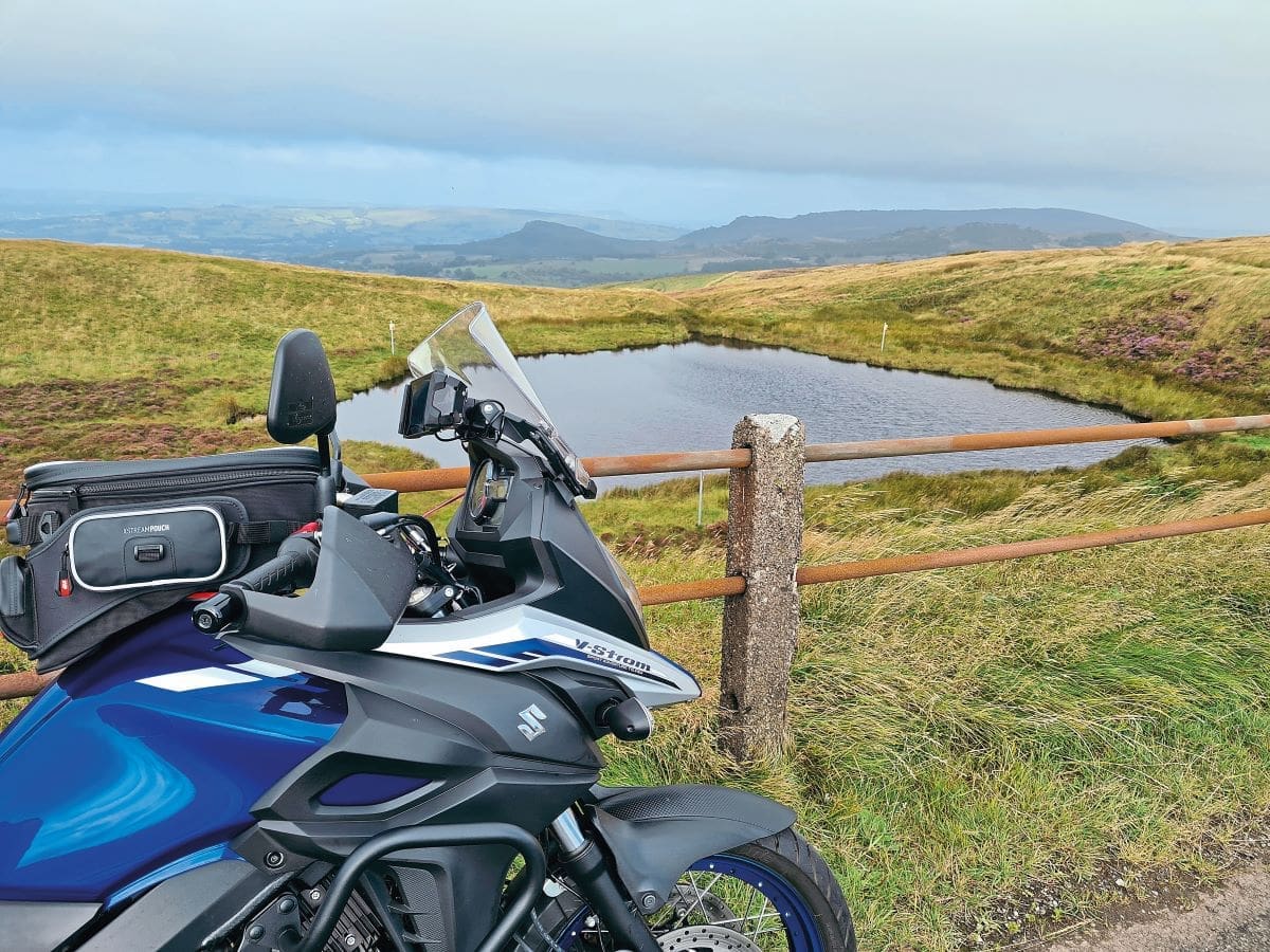
At the crossroads go straight over, staying on the B5053 for about ¼ mile, where you bear left at the Y junction, to takes you right along the top of Morridge Ridge, providing panoramic views over Leek and the hills. Be prepared for it to be windy along here but it is a fast, smooth road that allows you to relax for a bit after the technicality of the ride so far.
Ahead and to your left is The Roaches rocky outcrop. At the junction go right and go past The Mermaid Inn up the rise where you will see The Blakemere, or Mermaid Pool in the hollow on your left. Legend says it is haunted by the ghost of a young lady who was drowned in it for being a witch.
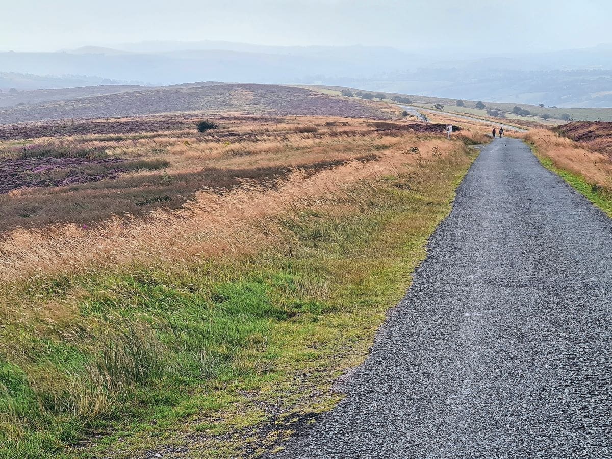
About 400 yards past the pool turn right and then just keep on that road, across the moors, through Newtown to Fawfieldhead where just after the hamlet there is a junction on your left with white railings – turn left, none of this is signposted, it is too small and remote for that!
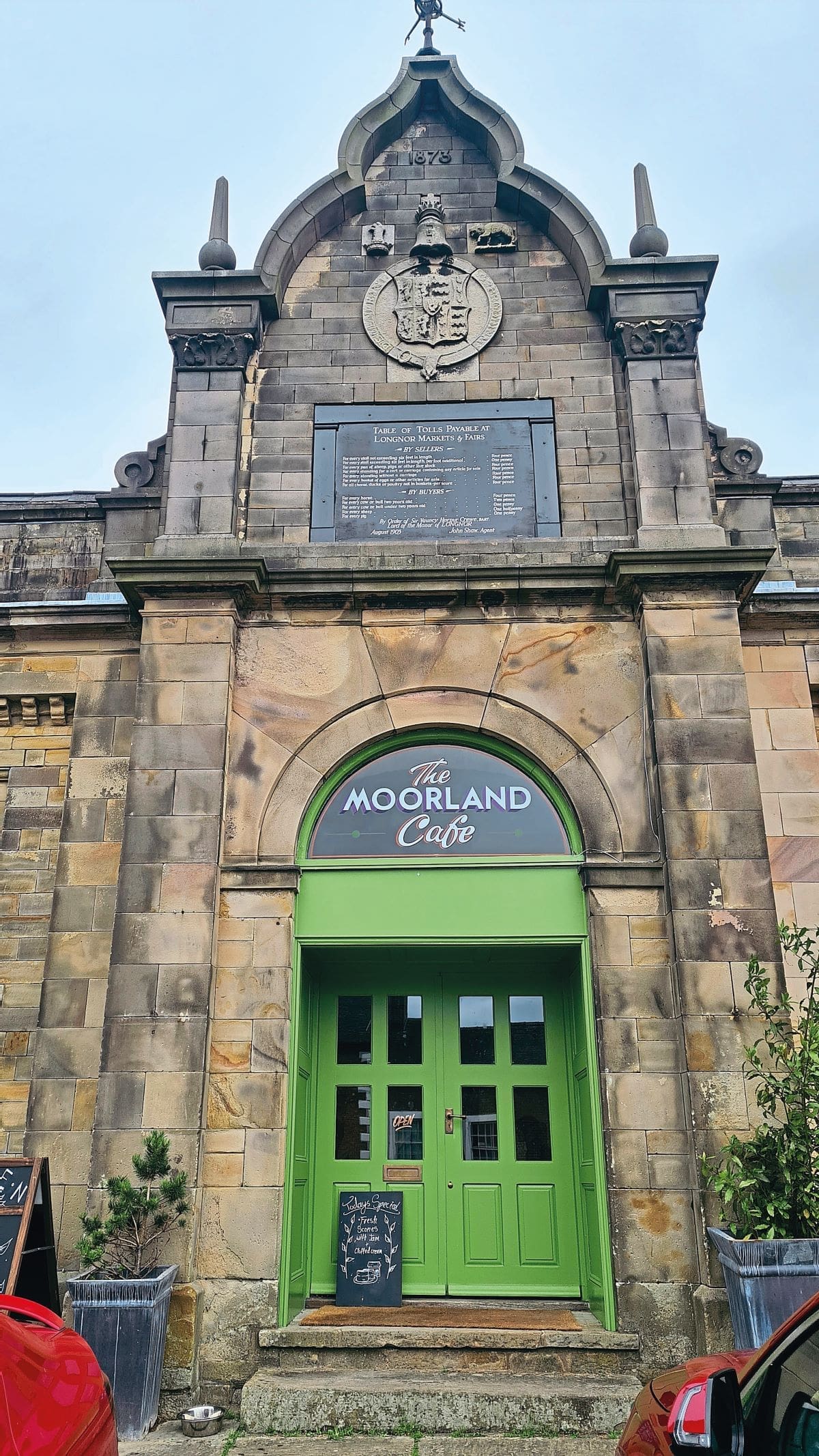
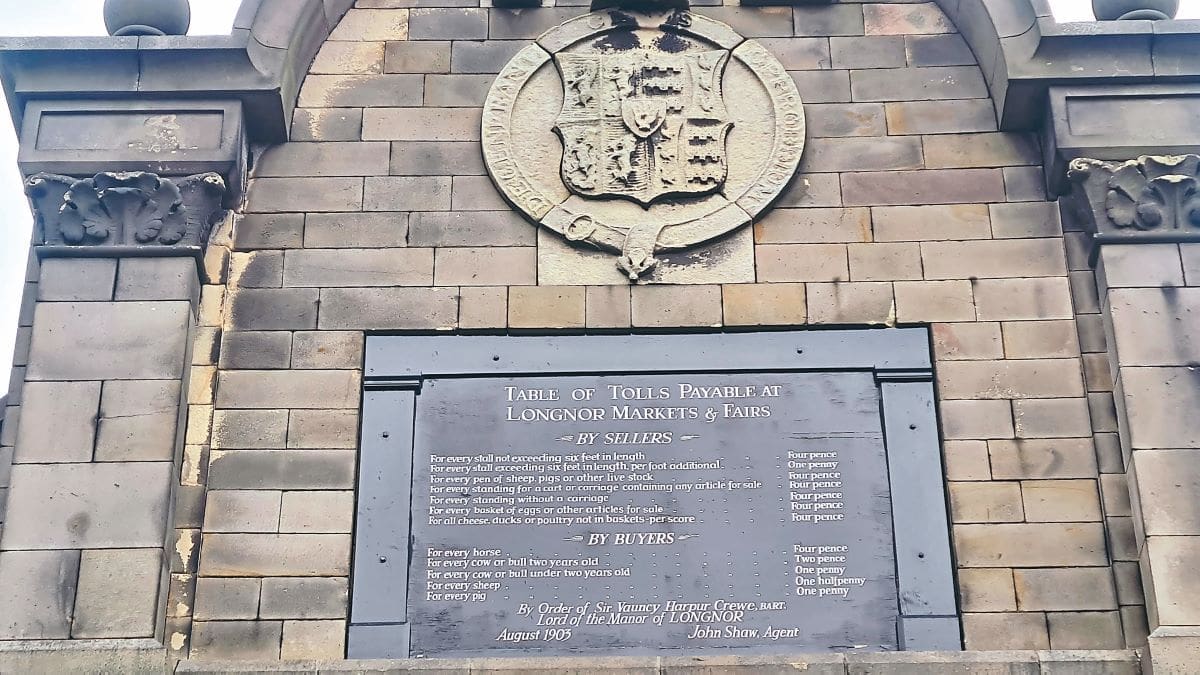
In another ½ mile turn right for Longnor where, in the cobbled market square, there is the wonderful Moorland Café housed in the old Market Hall with parking right outside, where you can consume various homemade comestibles. If you prefer there is the village fish and chip shop more or less next door.
After your break, resume the ride by heading south on the B5053 in the direction of Warslow. A long straight out of the village of Longnor can lull people into a false sense of security as the road climbs from crossing the River Manifold, the second of the named rivers. There are a couple of sharp, uphill bends which have caught out many an unsuspecting visitor.
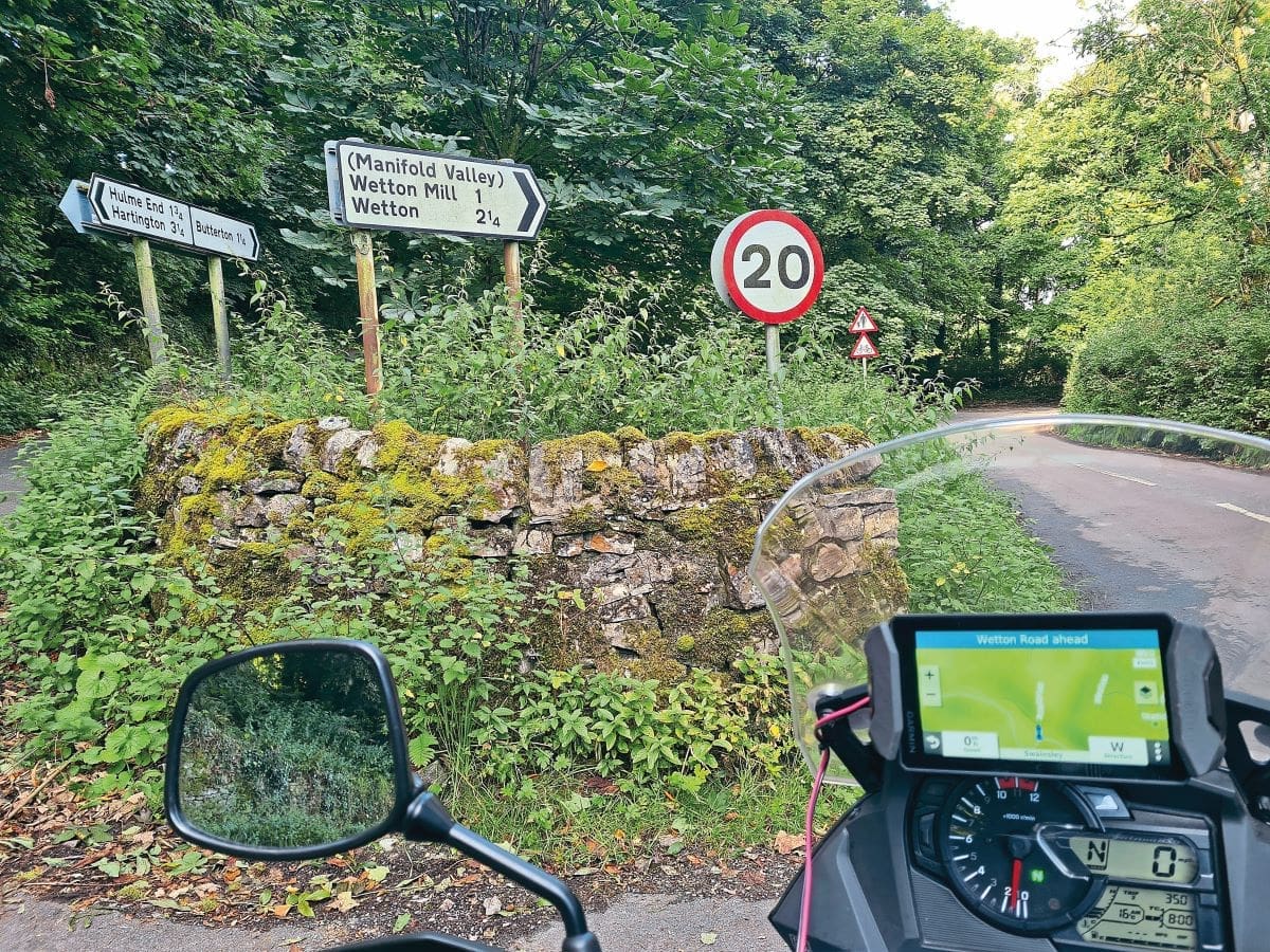
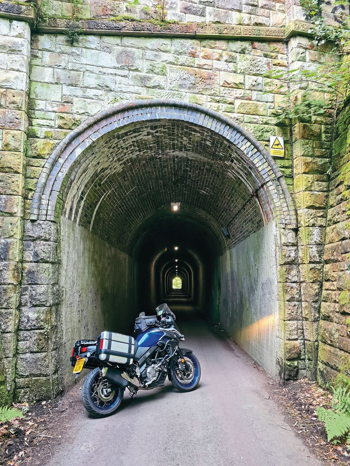
One hundred yards after the ‘30’ signs as you come into Warslow village. Take the turning on your left, with the blue sign ‘unsuitable for heavy goods vehicles’. This lane winds downhill, stay right, down to the Manifold valley, keep right again and follow the sweeping lane along the valley floor until you get to a stone bridge on your right. Turn over the bridge (signed Manifold Valley, Wetton Mill 1 and Wetton 2 ¼), then immediately turn right again to swing round and be faced by the Swainsley tunnel. I don’t need to tell you how your exhaust note will reverberate around the tunnel walls!

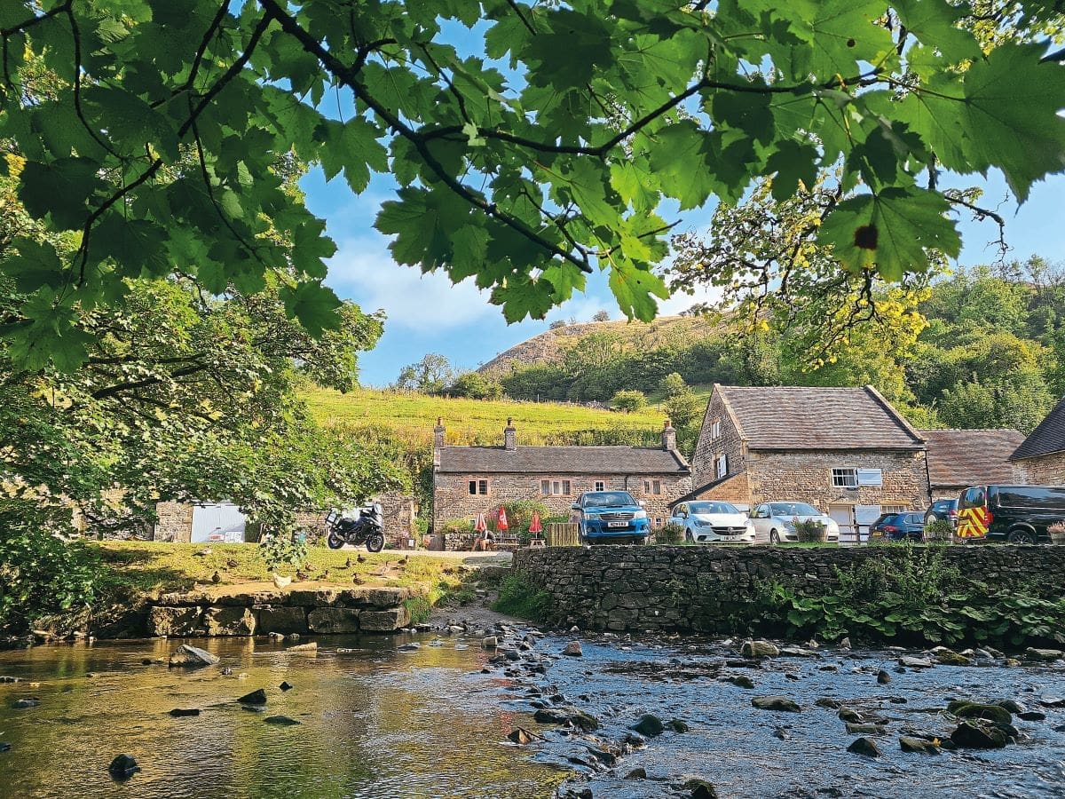
The single track lane continues to follow the river Manifold, winding along the wooded hillside with the river below you. Eventually you will come to Wetton Mill which has become a popular tearoom right next to the river.
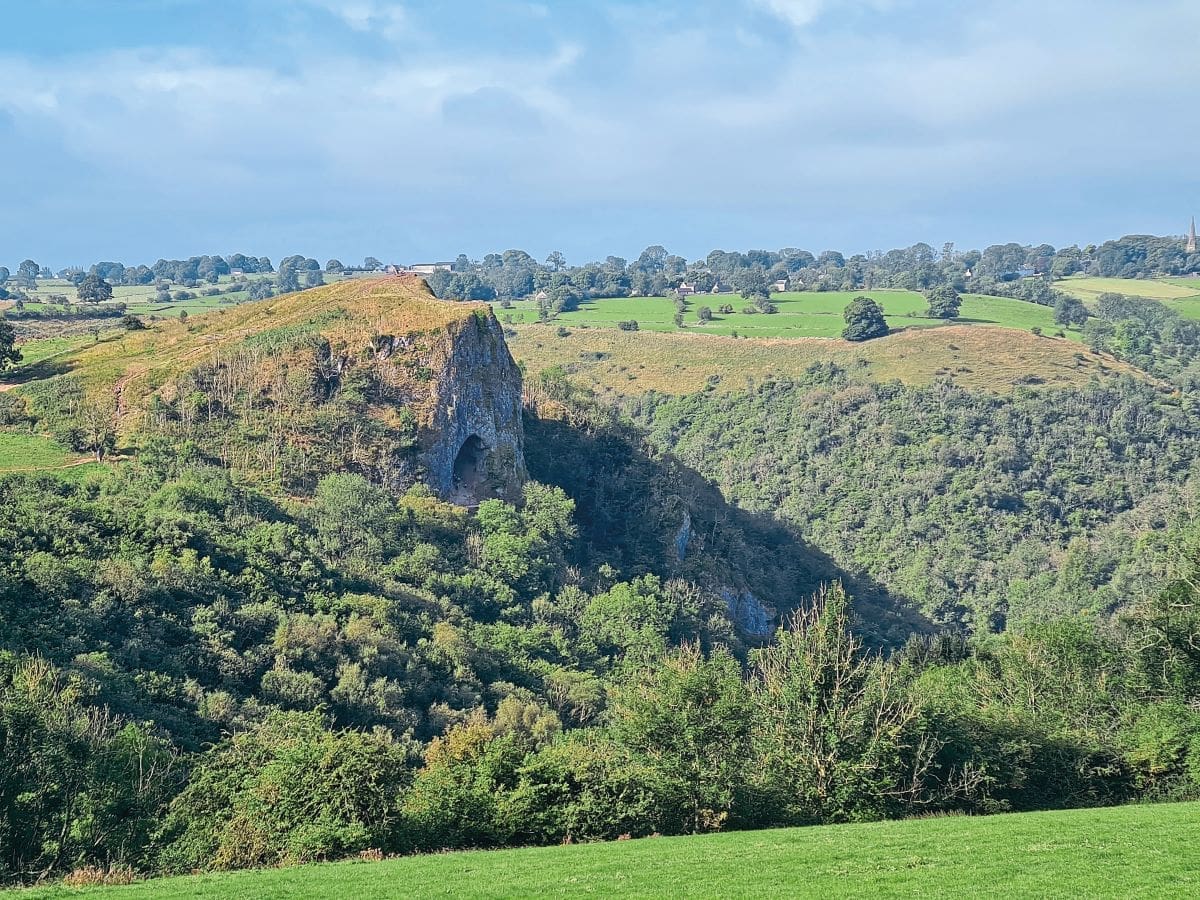
After the mill the lane climbs and winds up through the woods on the opposite side of the valley giving glimpses down the valley and across to Thor’s Cave. You can park in the village of Wetton and walk out to the cave on a well-worn track. The meadows here are a riot of colour in the spring with the hillside covered in early purple orchids – it is a sight well worth seeing.
Leaving Wetton, take the left turn just after the Royal Oak in the centre and at the end turn right heading for Alstonefield. In the middle of Alstonefield bear right, signed ‘Wetton 1¾ , Ilam 3, Dovedale 4’. At the bottom of the hill turn right at the Watts Russell Arms and then take the hairpin turn on your left signed for Stanhope, Ilam and Dovedale. This stonewall lined road looks down on the Manifold valley until the confluence with the River Dove at Ilam, the river being the boundary between Staffordshire and Derbyshire.
As you drop down into Ilam the Manifold valley spreads out below and before you providing a magnificent panoramic view. The village of Ilam is a National Trust protected gem, with the shingled houses on your left and the ornate, memorial fountain to Mary Watts Russell ahead of you as a centrepiece to the junction.
The road ahead takes you over the River Manifold just before it meets the Dove and snakes up the hill giving a marvellous view across to Dovedale. At the end a crossroads requires you to turn left and drop down to the parkland of Okeover Hall where you turn right, over the cattlegrid and across the sprawling park of the hall, another cattlegrid between limestone posts, marks the exit of the park and the road takes you out to the main A523 Ashbourne to Leek road again.
The route requires you to go left and then within 200 yards go right at the ‘Hanging Bridge’, whose name has nothing to do with executions, but has its roots in the topography and the construction of a suspended crossing that goes back over 1,000 years. It is the main crossing point of the Dove flood plain to the north of Uttoxeter and the bridge is actually three different constructions, one on top of the other.
The road brings you back through a couple of villages, first Mayfield and then Ellastone, following the River Dove on the Staffordshire side, back to the JCB headquarters and where the ride retraces this section in the opposite direction to Uttoxeter.
Being virtually in the middle of the country – half way between the M1 and the M6 and almost equidistant to Birmingham or Manchester – this is a ride that is easily accessible and will show you some of the lesser known parts of where the Staffordshire Moorlands and the Peak District overlap.